
Introduction
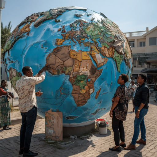
Adopted by the United Nations General Assembly on September 6, 2026, with 164 votes in favour, one against and six abstentions, the new representation of the world map has sparked widespread reactions, particularly in Africa. It challenges the so-called Mercator projection, which gives a distorted impression of the size of continents and visually reduces the apparent importance of Africa. This new representation therefore provides a more accurate picture of the continent’s actual size. But beyond this cartographic correction, what are the implications of this new representation for Africa today?
Restoring Scientific Accuracy
The new representation of the world map, known as Equal Earth, first and foremost seeks to restore scientific accuracy. The Mercator projection, developed in 1569, represents the Earth’s spherical surface on a flat map. As a result, the farther a region is from the Equator, the more its size appears exaggerated, making it difficult to accurately represent the actual size of continents. For example, Greenland, which appears almost as large as Africa on the Mercator projection, is in reality nearly 14 times smaller than Africa according to the Equal Earth projection.
An Affirmation of the Continent
The new representation of the world map has been introduced at a time when Africa is seeking to assert itself and move beyond the scars left by the legacy of slavery. It therefore carries an important political dimension, creating a sense of liberation from what Moky Makura describes as “the greatest lie in world geography and a vehicle for intellectual colonization.” It can thus be seen as a symbolic recognition of a long-standing struggle and as a partial restoration of the continent’s dignity.
A Significant Geopolitical Issue
The new representation of the world map restores a sense of geographical accuracy and pride in the African continent. However, it would be dangerous to view it solely from this perspective, as it also has significant geopolitical implications. A better understanding of territorial dimensions could help African countries strengthen territorial management and control, particularly in areas such as defense, transportation, GPS technology and many other fields.
Conclusion
The Equal Earth map therefore contributes to a scientific and political reconfiguration, but its significance goes beyond these aspects. It also has geopolitical implications that Africans should not overlook. More importantly, it brings renewed attention to an issue that remains insufficiently discussed in Africa: free, shared and secure access to space. Indeed, it is difficult to establish and monitor many terrestrial parameters without access to space-based technologies. This issue was also discussed in Paris from September 9 to 10 during the first international summit on space.
Social Media: https://www.facebook.com/profile.php?id=61558510635047

Comments are closed.